Nomadic Mapping Collaborative
2014-2015
As part of ZERO1/US Department of State American Arts Incubator Program
We believe data doesn’t just appear, but that data is shaped and produced by people. The production and ownership of data holds power. Geographic data organizes physical space in new ways.
The goals and mission of the Nomadic Mapping Collaborative were:
1. Empower citizens to own their own data and challenge current data collection practices in mapping.Geographic data is currently either crowdsourced and centralized into a platform or measured by a centralized institution. Either way, the data generated and gathered often remains inaccessible to the people who’s data is being harvested. This practice of data capitalization affects those living in data scarce areas the most – informal settlements and remote regions.
The Nomadic Mapping Co. collects data on a settlement through digital means and puts this data back into paper format. This data is collected as an artist edition book produced and authored collectively by the residents of a settlement.
This artist edition book belongs to the inhabitants/owners of the settlement. Geographic data transformed into an artist edition becomes a piece of intellectual property, authored by the residents of the settlement in an act of co-creation. This geographic data becomes a legal document, firmly belonging to the residents by turning data into art.
The NMC uses the artistic practice of turning data into art and thereby legal document so that citizens can proudly own their own data.
2. Address and question power hierarchies surrounding access and production of open geographic data.The western idea of public, open data does not take into account cultural approaches to data. In Japan, for example, there were numerous complaints about having so much data on households available on Google Maps. It was seen as a violation of privacy. This raised the question -- whose data? And whose public?
Often, those who produce open sourced, crowd gathered data are performing an act of labor that afterwards they are neither compensated for, nor do they have access to the results.
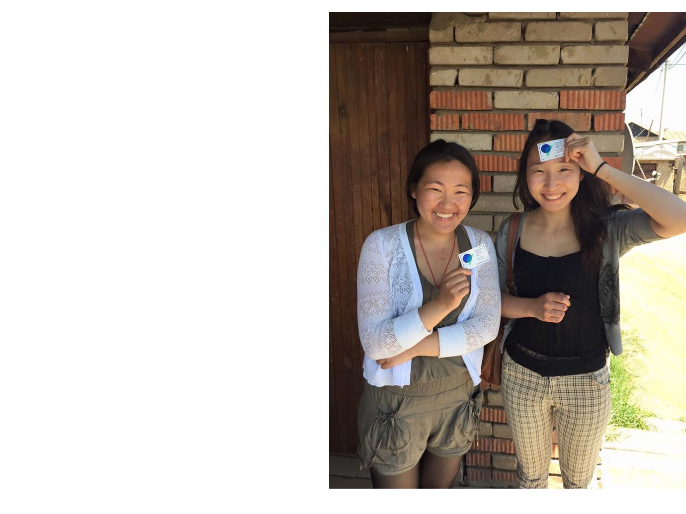
The NMC provides an online data locker for each household: Each household can access their own data or provide others access to their data by sharing a unique hash ID. A household is in control of the data on their land, the production of data and analysis, and the means of distribution.
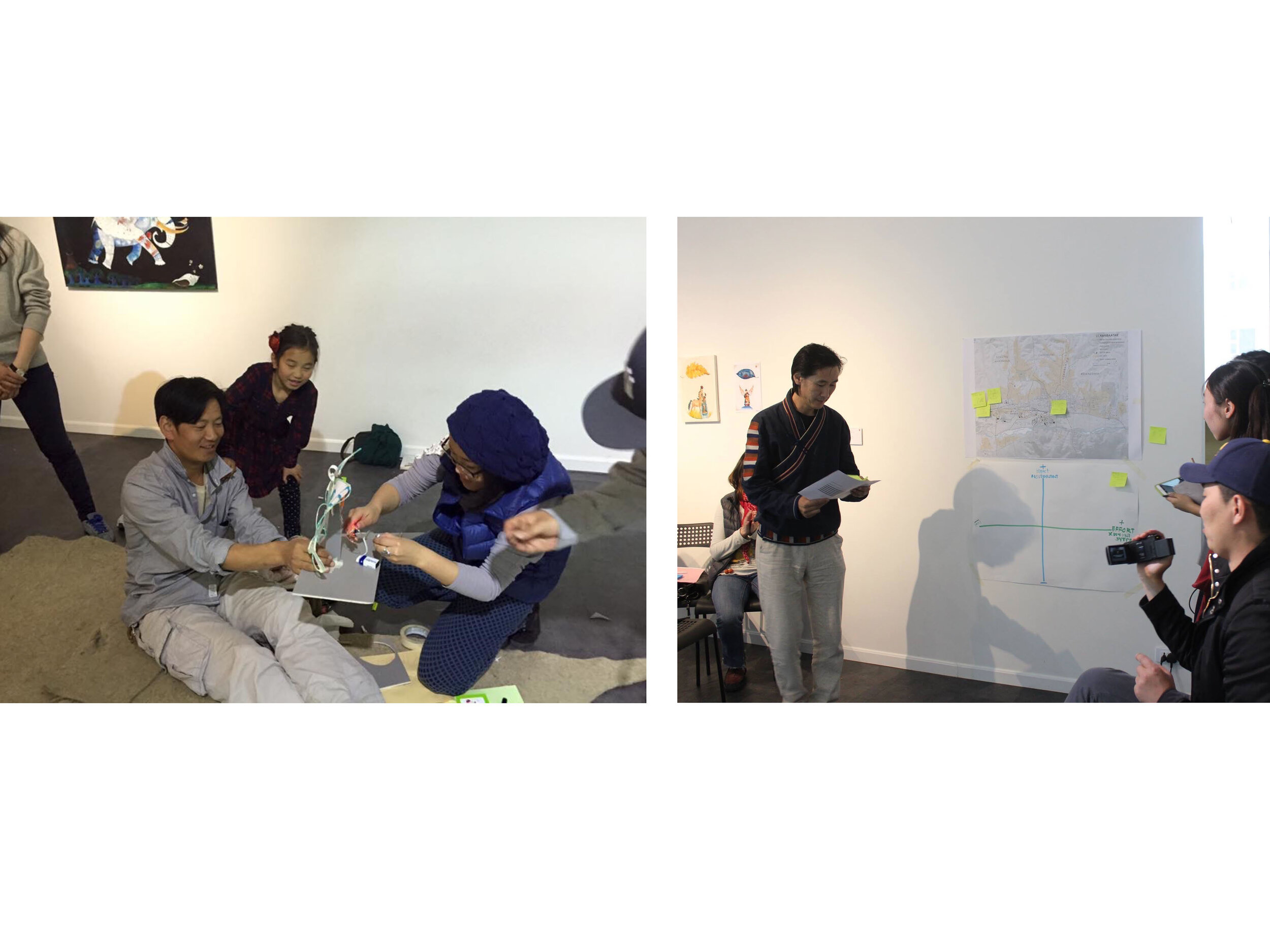
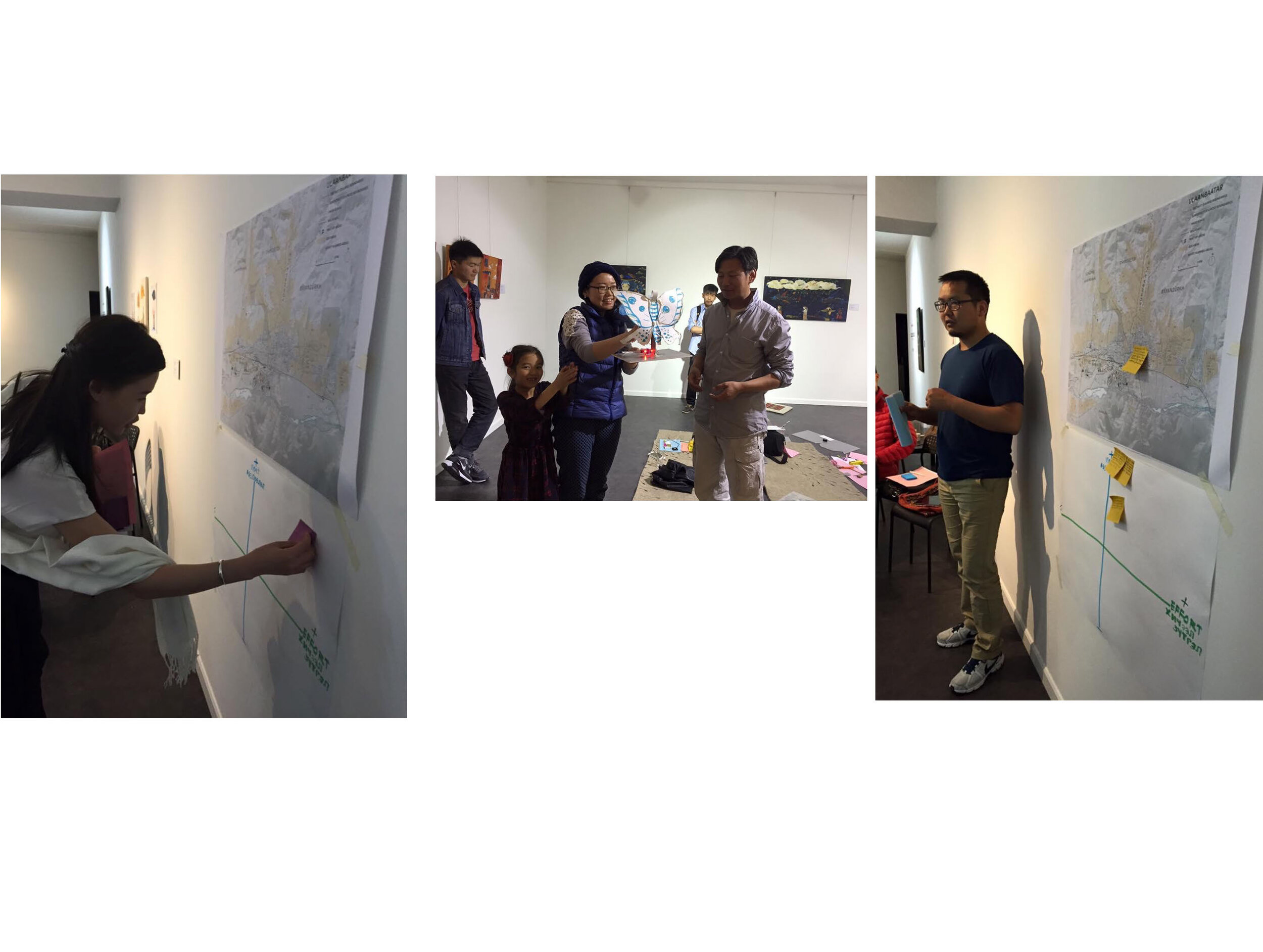
3. Foster a culture of data analysis for design and intervention on the environment.Each artist edition of the Nomadic Mapping Co. includes collaborative data analysis of the site’s conditions. The intent is to encourage grassroots, data driven design in “informal” settlements where centralized planning from the city is lacking. These areas are usually full of residents with local knowledge, plenty of unformalized design experience and social entrepreneurs. By empowering residents with access to data analysis, the notion of informal as unplanned or illogically planned, “haphazardly created informal settlements” could become informal settlements generated by community, data driven design.
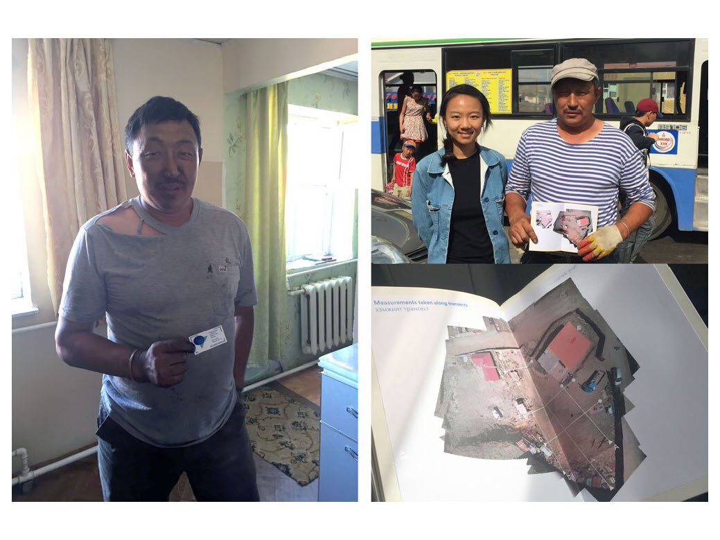
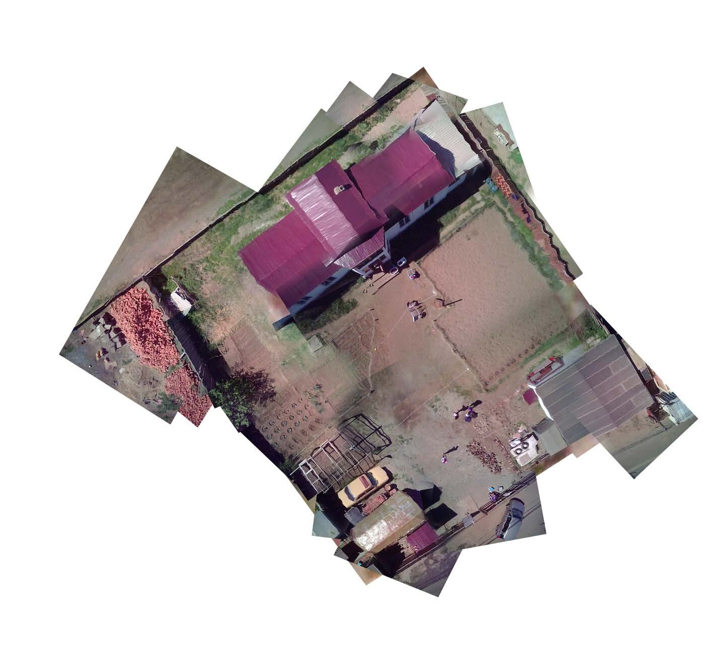
For the month of June 2015, the Nomadic Mapping Co. was working in the ger districts of Mongolia, building community by teaching members how to map, use their data.
We mapped the residences of several households in the informal settlement areas and produced an artist book as legal document, complete with drone imagery and detailed environmental data. These books were given to the residents as art works/legal documents.
As part of our work towards long term sustainability, we helped create a new makerspace at the Ulaanbaatar Public Library devoted to environmental sensing, mapping and tinkering.
Project team:
Lead artist: Xiaowei Wang
Translator/Assistant: Binderiya Munkhbat
Thank you to Jaime Austin, Kate Spacek, Joel Slayton, ZERO1, David Chace and all the collective members!